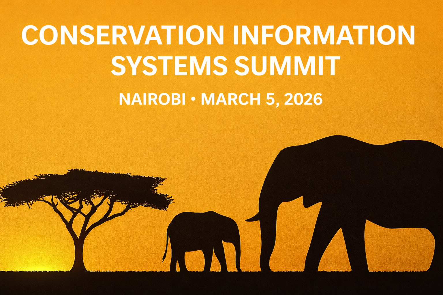


Conservation Intelligence Systems Summit (CISS)
Overview
The Conservation Intelligence Systems Summit (CISS), formerly Conservation Data Management Summit – CDMS, is a one-day forum that advances how conservation institutions build and operate integrated conservation intelligence systems using drones, satellites, sensors, ranger data, and community monitoring at a continental scale. We’ll focus on open geospatial platforms, ethical data governance, and practical workflows that move projects from “dataset” to “decision.” Here, every person and every creature is able to thrive in a healthy, sustainable environment. We strive to achieve this by advocating for policies and practices that protect the natural world and promote social and economic justice.
CISS is delivered through a multi-partner model including Digital Earth Africa, RCMRD, Kenya Wildlife Service (KWS), and strategic partners supporting conservation intelligence system governance, interoperability, sovereign data frameworks, and operational implementation across Africa. The Summit will convene senior government leadership, ambassadors and special envoys, regional climate and data institutions, conservation authorities, multilateral finance partners, and global technology and environmental intelligence organisations.
Date & Venue
Thursday, 5 March 2026

Trademark Hotel & Venue, Village Market (Gigiri), Nairobi

Why Attend
Open geospatial platforms for conservation (e.g., Africa-wide services and RCMRD tools).
Standards, governance & ethics for sharing sensitive biodiversity data.
Turning drone imagery → products → insights (photogrammetry, AI, time-series).
Interoperability: linking field teams, protected-area ops, and policy reporting.
Carry-through from G-DiNC Track 3 and related competition outputs to real projects.
What we will work on
Data standards and governance for sensitive biodiversity information
Interoperability, linking field teams, protected area operations, and reporting
Turning drone imagery into products and insights (for example, photogrammetry and time-series analysis)
Practical pathways for linking tools and platforms used in conservation data work
Who it is for
Wildlife agencies and protected area teams
Conservancies and NGOs
GIS and data managers
Research groups and universities
Donors and technology partners supporting scalable data systems
Partners